|
Opened to passengers 1.11.1865
Opened to goods ?.5.1868
Closed 30.6.1986.
Stations
- Dalston Junction
- Haggerston (opened 1867, closed 1940)
- Shoreditch (closed 1940)
- Broad Street (closed 1986)
History
Incorporpated in 1846 the nominally
independent East & West India Docks & Birmingham Junction
Railway was heavily backed by the LNWR. In 1853 it changed its
name to the North London Railway (NLR) and although managed by
the LNWR from 1909 remained independent until the grouping. Its
original line ran from Camden Town to Poplar but in 1865 it opened
a branch directly into the city off its main line at Dalston
Junction. Traffic handled by the new Broad Street station grew
at a phenomenal rate and the line was quadrupled by 1874; eventually
the terminus had nine platforms. The last train to use the line
was the 18.36 Broad Street - Watford Junction on Friday 27 June
1986.
The East London Line extension northward from Shoreditch, opened in 2010, uses much of the alignment.
Route - when originally open
It diverged from the Camden
Town to Poplar line at Dalston Western Junction (GR333850) and
curved south to Dalston Junction where the line fron Dalston
Eastern Junction trailed in from the east, thus forming a triangular
junction. From Dalston Junction station (which had platforms
on both curves) the line headed south alongside Kingsland Road,
passing Haggerston station and bridging the Regent's Canal. One
mile from Dalston Junction it turned SW to bridge Kingsland Road
and Old Street the location of Shoreditch station, then continued
south bridging Great Eastern Street on the approach to Broad
Street station (GR331817) with lines into Liverpool Street station
on the east side but at a lower level.
Route - today
The viaduct south from Dalston
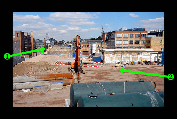
Junction is intact and has been adapted for use by the East London Line extension. The viaduct ends at New Inn Yard where the East London Line route curves away eastward. There are also two short stubs on either side of Great Eastern Street; the southern one reaches only as far as Bowl Court. From Bowl Court to Primrose Street there are new office developments. The route south of Primrose Street as far as, and including, Broad Street station is covered by the Broadgate development. About two-thirds of the Dalston East Curve is now a long car park. The other third has been opened to the public as the Eastern Curve Garden.
Relics
- Dalston Junction station. Completely demolished and rebuilt for the East London Line
extension
- Haggerston station. The original central platform was demolished in the early 1970s but the southbound one remains intact. The new East London line station at Haggerston was built on the north side of Lee Street; the original was on the south side of it.
- Shoreditch station platforms have been demolished. The
station building survives below at street level
- Broad Street demolished - site built over by the Broadgate
Office complex.
Bridges - all bridges on the proposed
ELL route have been replaced;
bridges over Holywell Lane, Great Eastern Street, Plough Yard, Worship St, Primrose St, are missing;
the viaduct carrying the line is intact between Middleton
Road and New Inn Yard. There are small sections remaining between Holywell Lane and Great Eastern St, and between Great Eastern St and Plough Yard.
Tunnels - on west curve under Kingsland High Street 88yds, will
be reopened for ELL extension;
on east curve under Dalston Lane 58yds condition unknown. |